
Dennis Hanagan –
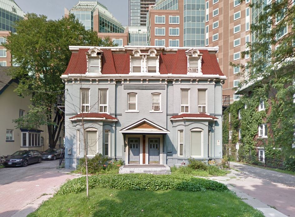
Plants and wildlife are returning to Villiers Island in Toronto’s eastern harbour, where a $1.5 billion project is revitalizing land once occupied by heavy industry: oil storage tanks, foundries and munitions factories.
The work – funded by Ottawa, Queen’s Park and Toronto – is rerouting the mouth of the Don River, giving it a new floodplain and a spillway to protect Lower Downtown East, southern Leslieville and southern Riverdale from flooding – even from the equivalent of 1954’s Hurricane Hazel.
To start the revitalization, more than 1.5 million cubic metres of soil contaminated by industry had to be excavated. Seventy percent of that was treated for re-use in the revitalization.
When the excavated site was left idle for a few months something unexpected occurred. An Ellis Don construction official walking the site one day saw unusual-looking plants. They weren’t weeds.
Expert botanists were called in and determined the plants were bulrushes from a time long ago when Villiers Island was the largest marsh on Lake Ontario, at a site that Indigenous people used as a trading centre and where they found plants to make medicines.
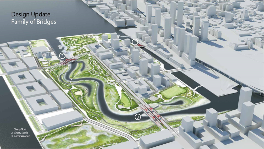
Map of newly proposed Villiers Island. Image courtesy of Waterfront Toronto
The bulrushes had sprouted from seeds buried under many metres of landfill for a century after the area was filled in, in the early 1900s, to make way for an industrial park. After waiting patiently for decades, all the seeds required was air, sun and rain to take root and grow again.
“A significant number of river bulrushes had germinated from that old seed source,” Ken Dion, project director for the Port Lands Integration at Waterfront Toronto, told the bridge. Waterfront Toronto is leading the design and construction work.
In hindsight, man’s turn-of-the-century intervention turned the Don River’s mouth into a mistake waiting to happen. A major rainstorm can send water rushing down the Don equivalent to two thirds of the water that pours over Niagara Falls. That alone can cause flooding.
To make matters worse, in the early 1910s the Don was rerouted into an unnatural 90-degree turn into the Keating Channel, built in the late 1890s. That made flood waters flowing down the Don back up and deluge the river’s banks and nearby communities.
After the revitalization, water surges will flow westward into Toronto’s inner harbour following a newly made, one-kilometre winding river (also artificial) through Villiers Island with low-lying floodplains on each side. A spillway will lead through newly developed marshlands to the south, where flood waters can empty safely into the Shipping Channel.
When all the work on Villiers Island is completed, it will have 20 hectares (50 acres) of green space and parkland, including new wetlands, 5,000 trees, 77,000 shrubs and two million herbaceous plants.
There’ll be places for fishing, cross-country skiing, boating and bird watching, there’ll be nature trails, bike paths and water taxis.
Muskrats, red-winged black birds, beavers, bald eagles, coyotes, red-tailed hawks and geese are already returning to the area. Fish will come back, attracted by plants they can eat and use as spawning beds.
A subdivision with residential towers to be built on Villiers Island’s north side is expected to have 9,000 units housing 15,000 people. This fall Villiers Island will be given an Indigenous name; eventually it will feature Indigenous art creations.
To design and create the Don’s new mouth, Waterfront Toronto studied the riverbanks, vegetation and wetlands of the Humber and Rouge Rivers and Duffin’s Creek.
“We weren’t creating something out of the blue,” Dion said. “It’s not completely restoring it (The Don) the way it was, but is intended to bring back very identifiable components of nature in the landscape of the Port Lands.”
– With files from TVO Today.